Hypervision and Command Systems
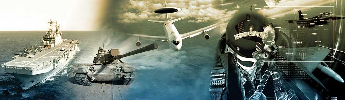
DIGINEXT has developed a full range of Command and Control (C2) systems to meet civilian and armed forces needs for information management effectiveness in order to reach each actor involved in the operational command chain and effectively deal with complex crisis situations and massive information datasets.
STARLINX
This tactical system is a core operational C² “Command & Control” node (a non-C² role is also available). STARLINX, is well suited for NCW (Network Centric Warfare) operations and to guarantee successful participation into live or simulated TDL networks. STARLINX supports a wide spectrum of C2 functions such as building and managing tactical situation (Multi-TDL Surveillance), digital control of effectors, weapons management or Command orders. STARLINX HMIs are developed in a user-friendly way in order to interact easily with the system.
Its ongoing development process enables STARLINX, through his full standard implementation (STANAG and MIL-STD), to be involved in all kind of operation from Air to Air campaign, Ground Based Air Defense operations (GBAD), Air Surface Integration (ASI-ALI), Anti-submarine (ASW) and Surface Warfare (ASuW) and even in Ballistic Missile Defence (BMD).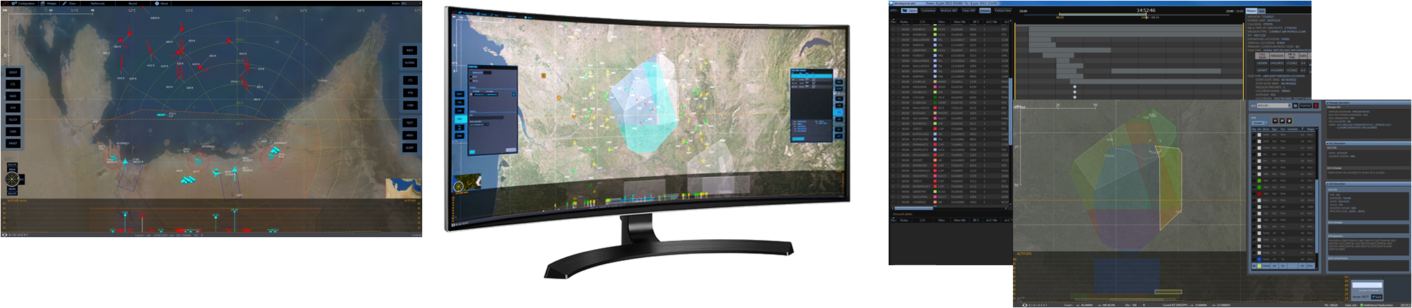
Applications
- Reach-back tactical system enabling HQ to monitor theater activity (Tactical situation monitoring) and to interact through text messages (Chat), pointers and Command orders (C² to C² orders) with distant TDL units
- Ground, Airborne or Surface C² role (Multi-user configuration: Surveillance, Fighter Control, Command, Weapon management, EW, ASW, BMD surveillance)
- Multi-TDL communication node (LOS and BLOS gateways, operated or not)
- Airborne ROBE (Roll-Over Behond the horizon Extension) operated or fully automated gateway between LOS radiated network (RF) and BLOS connection (JREAP via Satellite)
- Airborne ISTAR Chain C² component (SCAR-C role), may be interfaced with onboard sensors (MTI, EO-IR gimbals)
- Operational training system (Fighter controller and Range Training Officer roles)
Key Features
- Reach-back tactical system enabling HQ to monitor theater activity (Tactical situation monitoring) and to interact through text messages (Chat), pointers and Command orders (C² to C² orders) with distant TDL units
- Ground, Airborne or Surface C² role (Multi-user configuration: Surveillance, Fighter Control, Command, Weapon management, EW, ASW, BMD surveillance)
- Multi-TDL communication node (LOS and BLOS gateways, operated or not)
- Airborne ROBE (Roll-Over Behond the horizon Extension) operated or fully automated gateway between LOS radiated network (RF) and BLOS connection (JREAP via Satellite)
- Airborne ISTAR Chain C² component (SCAR-C role), may be interfaced with onboard sensors (MTI, EO-IR gimbals)
- Operational training system (Fighter controller and Range Training Officer roles)
CRIMSON - Crisis Management Solutions
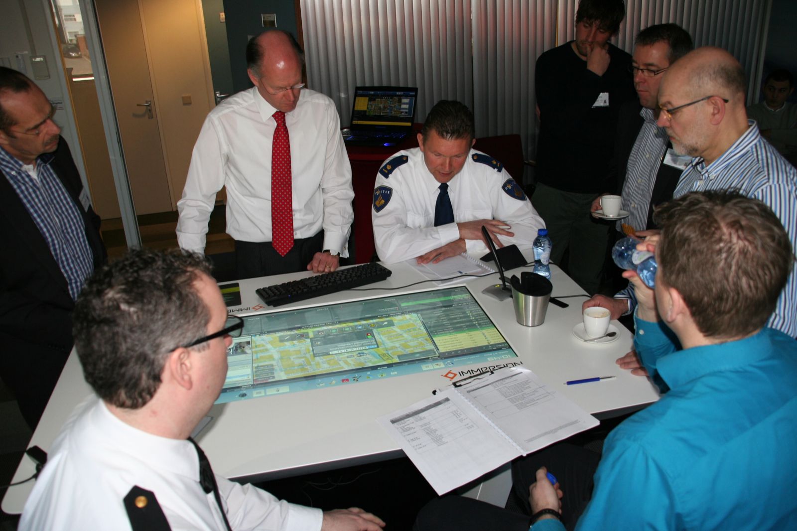
The ability to manage crisis and to maintain security is a complex challenge due to multiplicity of organizations, command levels and the involved information sources.
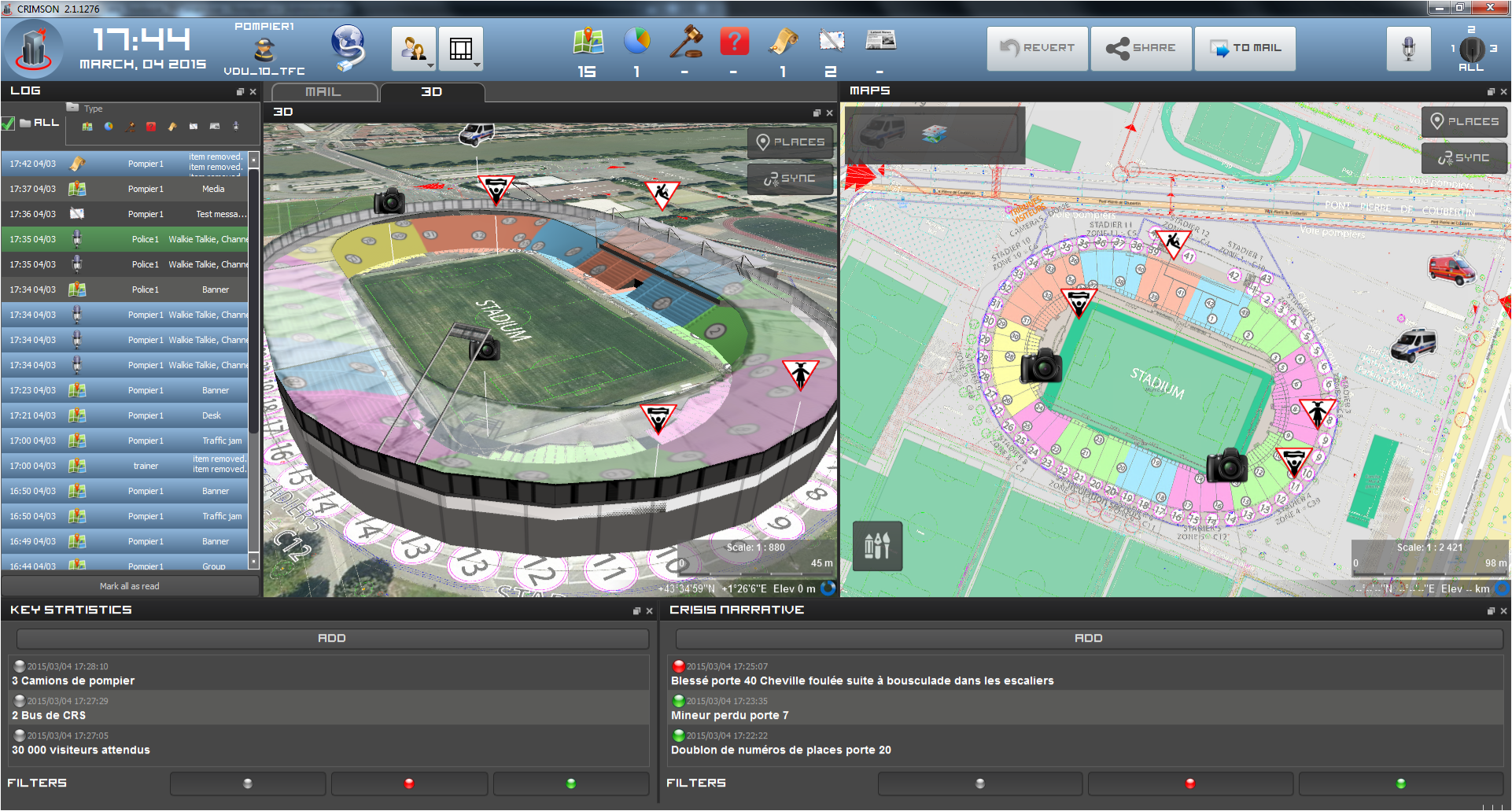
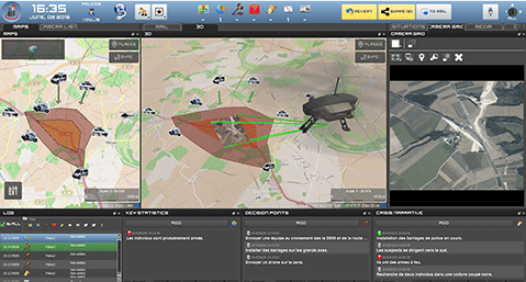
CRIMSON is an hypervision and C2 system for law enforcement and crisis management that supports the chain of command and first responders by providing a synthetic, shared and real-time view allowing understanding the most complex situations at a glance.
Applications
Key Features
- A decision support tool, designed by and for experts in crisis management
- A dedicated solution for operations with training and mission preparation modules
- Integration capability of all existing communication means used by operators: voice, messaging, maps, images, videos, etc.
- Compliant with all civilian communication network (LTE, Wifi, GSM 4G/3G) and security&military communication network (Tetrapol, Antares, …)
- Interoperability with legacy systems (alert and report, emergency notification and resource management systems) : NF 399 compliance
- Collaborative 2D & 3D visualization of operation field (aggregated or disaggregated locations of forces and incidents depending of the addressed level of commandment)
- Medias (BFM TV, France24, ...) and social networks(Twitter, Facebook, ...) survey integration,
- Interconnection of all the sites and operational entities involved
- Focused share of the strategic and tactical vision
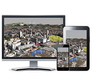
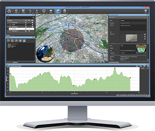
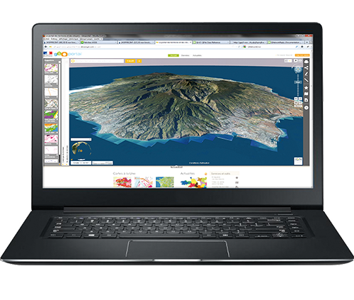
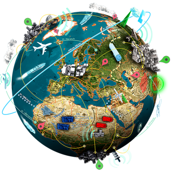
VirtualGeo
VirtualGeo a suite of middleware software products to fuse, visualize and analyse massive 2D&3D geospatial environments :
- Connect to all kind of static and moving data: imagery, maps, elevation, 3D models, crowd-sourced data, weather data...
- Combine them into coherent environments without any time consuming data preprocessing.
- Explore massive 4D geospatial datasets, up to terabytes of data.
- Navigate smoothly from planet to local area including building interiors and undergrounds.
- Visualize large volumes of real-time data (dynamic tracks, full motion video, sensors...).
- Enhance situational awareness using powerful querying capabilities and smart drawing tools.
- Understand environments using advanced measurement and analysis tools: viewshed, terrain profile, line of sight...
Applications
VirtualGeo has been adopted by many international companies, organizations and systems integrators for a wide range of applications, such as:
DEFENCE
- Mission planning
- Command & control system
- Battle management system
- Unmanned system ground station
- Training system
SAFETY & SECURITY
- Protection planning
- Emergency response operations
- Surveillance system
- Critical infrastructure protection
- Border control system
Key Features
- COST-EFFECTIVE : Enjoy a faster development process of your geospatial applications thanks to a comprehensive «out of the box» set of field-proven components.
- FLEXIBLE : Integrate VirtualGeo as you want: work with your preferred programming language and GUI toolkit, and target all major platforms.
- INTEROPERABLE : Instantly fuse datasets in many different civilian and military formats, projections and geodetic references.
- OFFLINE & ONLINE : Connect your maps to local data repositories as well as geospatial databases and OGC compliant web-services.
- HIGHEST PERFORMANCE : Visualize massive geospatial datasets, up to terabytes of data, and track thousands of dynamic objects in real-time.
- 3D CITY EXPLORATION : Explore and edit high-resolution 3D urban environments, including building interiors and undergrounds.
- SCALABLE: Run your applications on any desktop or mobile device with a full control of the trade-off between quality and CPU/memory usage.